
Day 1: Gransherad to Hovin
Please note: This day's stage would require a boat crossing from Tinnoset to Sandvika, which we are unfortunately no longer able to offer.
There is alternative route 1b from Rauadamm via Sandvika to Hovin, or you can start directly in Hovin.
Alt. 1 - from Gransherad to Tinnoset
Length from Gransherad to Tinnoset: 5,13 km/ up: 80 m/down: 70 m
Travel conditions: Gravel road, good forest paths and a short stony/sharp piece that requires sure-footedness


Would you like to get a glimpse of the beginning
of the pilgrimage from Rauadamm?
Then I invite you to join me on my tour.


Directions
The start of your pilgrimage is the church of Gransherad.
From the church you go down to the main road and follow it to the right over the bridge. Just behind the bridge you turn left into the “limoen” path.
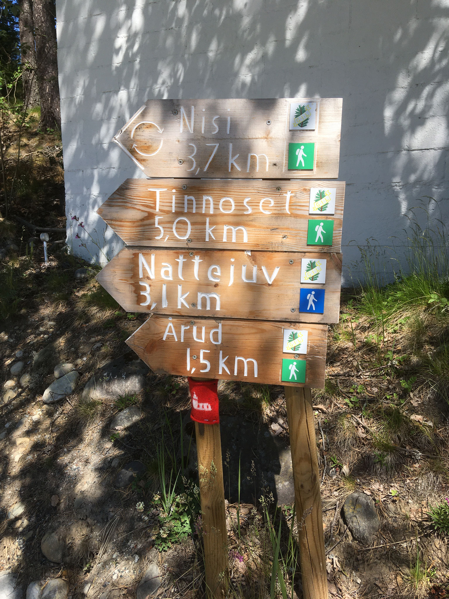
The tur way to Tinnoset is marked from the regional G.I.L and you can follow their sign first to "Nisi" (a farm on the top of a hill) and then forwards to Tinnoset.
You first follow the way through a small residential area. Behind the residential area, the path crosses into a forest path, which you continue straight into the forest. The old tracks of the “Tinnosbanen” always lie to your right and the lake to your left.
After a good 2 km the forest path leads you in a right bend over the tracks and then in a slight left turn slowly uphill.
Here the path soon becomes very stony and uneven and a short stretch also a bit steep.
With the farm “Nisi” in view, the path then again becomes a proper “route” and leads you in an arch to the left around the courtyard. At the large red barn on your right, turn left onto the dirt road leading downhill.
On this gravel road, keep always to the left, first through open countryside and then through woods, down the mountain towards Tinnsjø.
At the bottom you turn left over the tracks and see the ferry dock of Storegut to your right on the lake.
In Tinnoset the boat guides (which you ordered in advance) are waiting in the harbour to take you over the Tinnsjø to Sandviken.
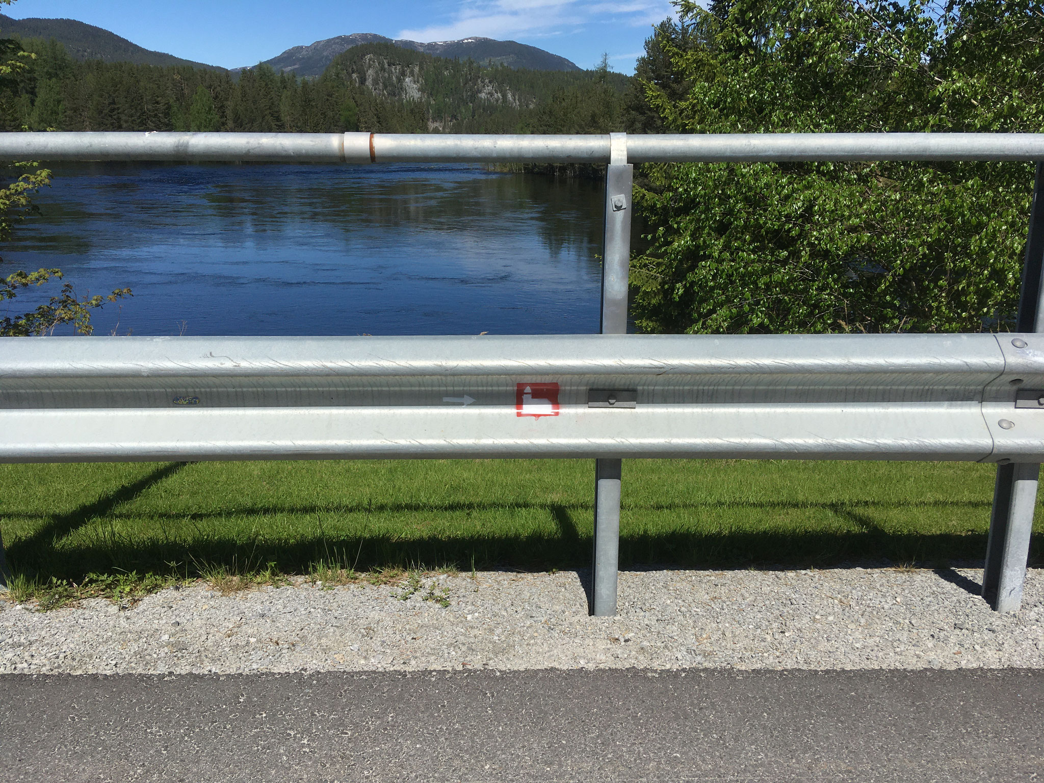
red arrows: Bus stop and jetty – Tinnoset
Gransherad bus stop
purple arrow: Coop Gransherad
Alt. 2: Rauadammen to Sandviken
Length: 4,14 km/up: 100 m/down: 240 m
Travel conditions: Narrow, sometimes very steep and impassable paths


Directions
Normally, your pilgrimage starts in Gransherad and takes you first to Tinnoset and then by boat over Tinnsjø to Sandviken before continuing to Hovin. Unfortunately, a boat overpass is not always possible due to weather and so we would like to introduce you here an alternative.
From Tinnoset you go to the church in Gransherad and from there take a taxi (Hovin Taxi 35099243 – eller Tinn taxi (90967777) to the starting point for this hike.
It begins above the Rauadammes. The Raua River is the border between the municipalities of Tinn and Notodden. The river used to be used for flowing tree trunks and the path we use to get to Sandvika was made accessible and signposted again in view of this. On the Rauadamm and the Raua Tunnel, you can experience how the wood was previously loosed.Unfortunately, the boards are only written in Norwegian, but the river is in any case an imposing experience.
From the turning point above the dam a sign knows a path down towards “Fløyteminne” (remember of the rafts). In the valley you find further signs that lead you to the right to the Rauadamm and to the left towards Rauatunnel and on to Sandviken. Like to buy the small detour to dam. The river was dammed up extra and then the tree trunks flowed through the smaller left opening. Then continue towards Rauatunnel/Sandviken along the river. A little later you know a sign to the left to the tunnel and straight on to Sandviken. Take the path to the river and continue to the tunnel. The tree trunks were flown here past the waterfall through a tunnel to protect them from great damage.
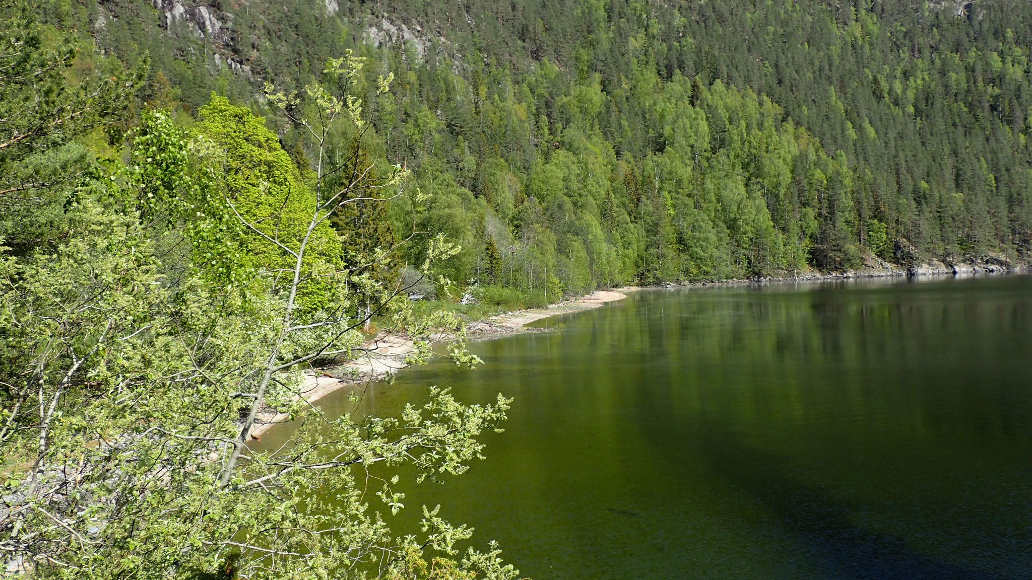
From the viewing area above the tunnel you can walk uphill a small path that takes you back to the main path to Sandviken. (you turn left there) Follow the path far above the river to almost down to the mouth of the Tinnsjø. Shortly before, you will be led to Sandviken at a fork to the right. The path is now even narrower and one has to be very careful in some places, but it is well marked with red dots and in spite of everything well recognizable. Enjoy between the view of the Tinnsjø, which you walk along at a certain height. The path along the lake is exhausting to walk, but also a special experience and you have arrived in Sandviken a break with beautiful views over the lake deserved.
Some information about the dam an the history you can find her
2. part from Sandviken to Hovin
Length: 10,2 km/up: 350 m/down: 260 m
Nature of the path: Gravel paths, good forest paths and steep, uneven paths, safety required


Directions
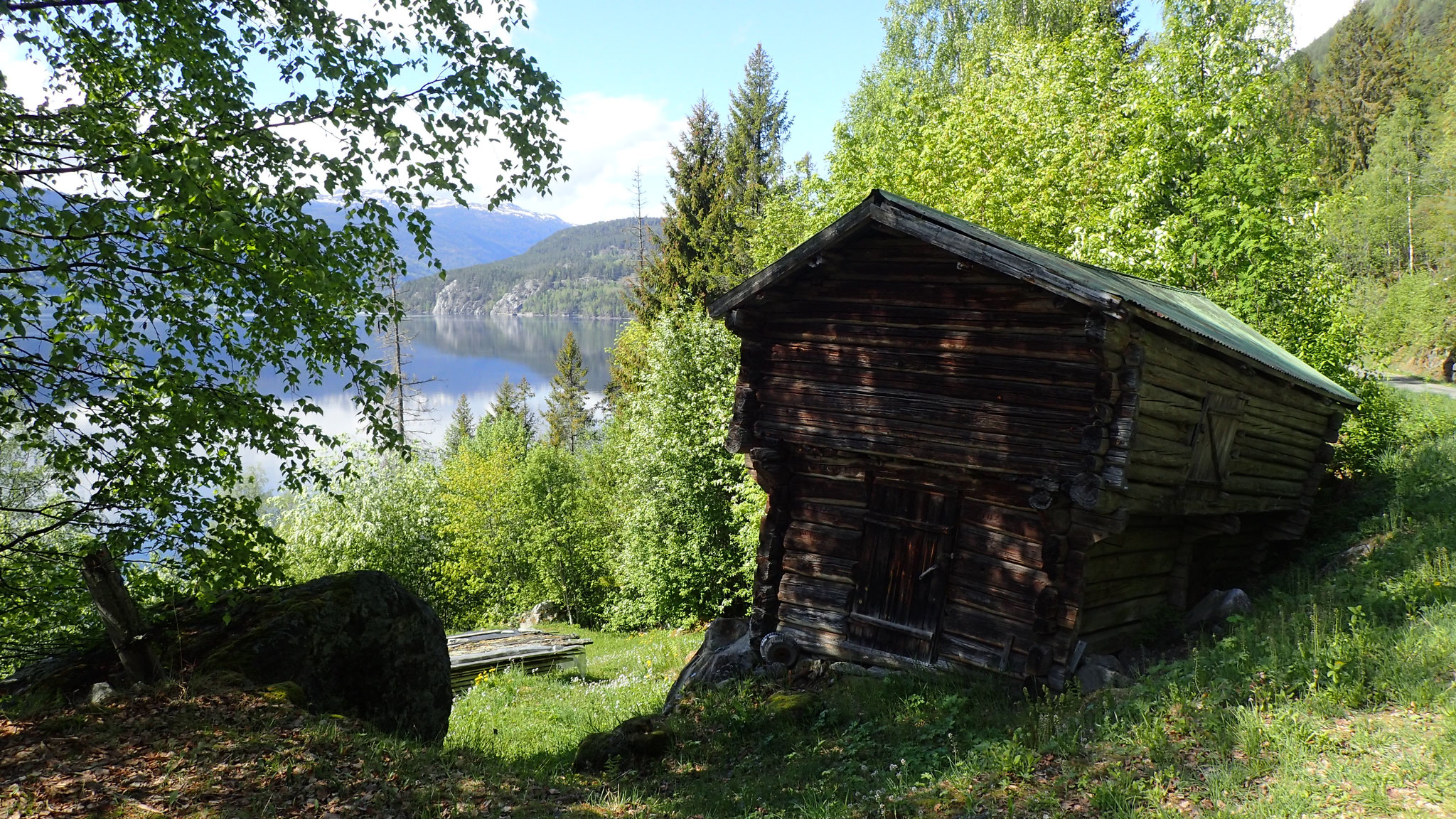
Sandviken, is a farm complex surrounded by forest directly on Tinnsjø and about 10 km away from Hovin. According to the 1900 census, there were 11 people living in Sandviken. The village was inhabited until about 1920/30 all year round and then abandoned.
It is one of the typical places in Norway, which were mainly accessible from the water. Through the forest it has only been accessible via the old “Kjerrevei” (carriage path), which you will walk. Today, the main house is used only in autumn during the hunting season and the rest around it decays.
In the summer of 2012, a stone axe from the Stone Age was found on the beach, that is, this place was settled very early. Access to water was previously important as a transport route and food source.
From the beach you keep on a grass path to the left of the water until you meet a stony, steeply uphill path into the forest. This path is also not signposted because it is easy to follow.
The first about 600 m is now rocky and steep uphill. The loosely piled stones make the way a bit difficult to walk and you should be very careful. After this first steep climb we quickly better the path through the nature reserve.
You follow a small stream to your left uphill until you come to a small lake. Here you can admire the work of the beavers who have dammed the lake. Follow the grassy forest path up until you reach a turning point at the highest point after about 2 km.
The forest path is now wider and even more flat and runs for about a kilometre along the height. Now it goes slowly and comfortably downhill again and you get to see the Tinnsjø, which lies to the left below you again.
You continue along the main road in two bends, first to the left and then to the right, downhill until you come back to a slightly larger gravel turntable this time. On the other side of the square you see the only sign on this path and follow the dirt road straight ahead.
The path always leads you along the Tinnjøs (on your left) towards Hovin. On the way you pass first the larger “Bratterud Hof” (which was already in the 17th century) and a little later the “Nedre Gvammen”.
About 2 km behind the “Bratterud Gård” you first see a wooden warehouse on the left side of the road and behind it the remains of the old laundry and barracks that belonged to Tinnsjø Kupfermiene. The entrance to the copper mine is opposite the forest. The entrance is open, but usually you get wet feet there and you shouldn't go in otherwise, because it’s too dangerous.
After 8.5 km you reach a barrier that is normally closed. So you have to climb a little bit in being able to walk over a bridge. It is the little river Skirva that you cross and which you will now follow towards the church. First you go a bit uphill until you meet the main road of the village. To the left you can go down to the former dock of Hovin, to the church turn right at the crossroads and follow the river (on your right) uphill. After a kilometre, you meet a T-cross again. The sign to the church leads you up the road to the left. But you can also take the shortcut over the meadow, which reaches to the church. You can see the church right after the crossroads. If you follow the road to the right again uphill you come up to the country road at which also the grocery store of the village is located.