
Day 2: from Hovin to Austbygde


From the church in Hovin our path leads along the “old Hovin Heia” to Austbygde. This old road was used as a link between the villages of Hovin and Austbygde until the construction of the current road in 1935. Otherwise, the village of Tinn was only accessible via the Tinnsjø. Until 1993, when the road on the western side of Tinnsjøs (Notodden, Gransherad, Tinnoset, Mæl) was opened, the “Hovin Heia” was the only link between Kongsberg/Oslo and Tinn and on to Rjukan. Until then there was also a ferry service over the Tinnsjø between Mæl and Tinnoset.
If you‘re on this old Hovin way, I’m sure you‘ll wonder how you’ve ever been able to drive a car on these paths. It is said that along the track, one or the other farmer deserved a supper to pull up the cars, some very steep sections. Today this former “main road” is a beautiful hiking trail.
On our last pilgrimage together we learned that 1841 was a foot and a riding trail. Until 1900 it was upgraded to a cart path/kjerreveg. In 1915, the landowner Cappelen was the first to drive his car on this way to Tinn. However, he did not take the same route back, it is assumed that he took the Tinnsjø ferry. In 1923, 9 new wooden bridges were built and in 1929, up to 20 cars were driven on this route in the summer. However, it was hard to drive this road by car and there was a lot of “compulsory work” for the farmers on this path.
Length: 23,6 km/up: 570 m/down: 660 m
Travel conditions: Gravel road, good grass and forest paths (sometimes strongly rooted), in between slightly washed out and rocky paths, little busy roads

purple arrows: Hovin – Matkroken grocery store
Austbygde: Kiwi – grocery store
Bakery/café
bank with ATM
green arrows: Hovin – Fjellblikk coffee and cabins
Austbygde – Sandviken Camping

Directions
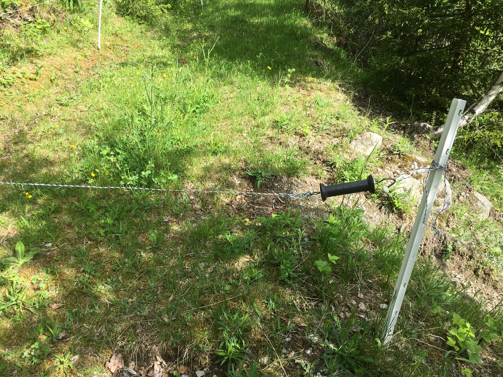
From the church in Hovin you walk up the road to the road. There you turn left and see very quickly the grass road on the left side of the road. This grass path leads you, slowly ascending past a farm and then crosses into a beautiful forest path. Sometimes cows graze here and it is possible that you have to pass an electric fence, which is not permanent. (You can touch the cable on the handle and lift the hook out of the loop, please close it well afterwards. It is a nice piece of the old road where you can still see the big edgestones to the valley side.
The path leads you over streams and steadily ascending through the forest and later goes back into a grass path. Behind a right-hand curve you see another courtyard on your right. Shortly after, you encounter a clearing that you cross along the right side. A little later you reach the new gravel road, which today connects the farms with each other. The gravel road (Urdalsvegen) comes up the mountain from the right and you follow it straight from the mountain. (the path to the left only leads to another farm)
You follow the gravel road for about 1 km before turning right at a dead end sign/turning place onto the old Hovinweg.
You follow this path (now described as “kjerrevei – Karrenweg”) along, usually evenly but also a bit steeper, uphill through the forest. Always keep to the left on the main road. Having arrived at the top of the hill, look around consciously. It is a very rocky hill and it is said that it was in the 2nd century. World War exactly here has given a barricade of the locals against the invasion of the Germans. The German soldiers came the same way as you and the Norwegians lay behind the rocks. On this day 1940 the Germans failed to advance towards Rjukan and Vemork. One of the Norwegian soldiers wrote down these events and his further experiences in the war very impressively.
Then you follow the Kjerrevei, now down through forest and partly more open landscape with rocks, moss, heath and berries. After 2.5 km you reach a lake that lies to your left. You always follow the path directly along the lake. A piece of the trail leads through boggy landscape and the path can be very humid, depending on the season and weather.
A little later, the path leads you over an old bridge and soon crosses into a track, which you follow straight ahead. The road leads you past some lakes and huts until you reach a barrier. Behind the barrier, the path leads past a quarry and meets another gravel road that comes from the right, leading down from the new Hovin Heia. Turn left and follow the dirt road. Passing a yard, you turn right to the old Heie school. Behind the old school there is still a functioning Plumpsklo in an outside building.
After this little break you go back to the gravel path and follow it downhill to the right until you see in a left turn (after 200 m) straight out of a grass path. It follows this grass path steadily upwards, always straight out through the forest. After about 1 km it meets a gravel road that leads to the left to a farm. Follow the dirt road straight out of the mountain and always keep on the main road, from which from time to time go to different huts. After about 2 km you reach the new “Hovin Heia”, the main road between Kongsberg and Tinn.
Turn left and follow the road for about 1 km. Pay attention to the traffic, on the somewhat confusing and curvy road. In an S-curve you turn right into a gravel path, which is usually closed with a barrier. So you can climb a little again. Right in front of you, in a bend, you'll see a bank standing. You follow the gravel path into a hut area called “Hafoss vel” and is located directly above a lake. The dirt road follows the lake on your left. At the lake there are some nice resting places and benches for a break. After about a km the gravel road leads to the right of the lake. Here you leave the gravel road and follow the path, which continues straight along the shore. When the path leaves the hut area, it crosses a small piece of moor. There you have laid some wooden beams and pallets, so that it is still dry foot to pass. After the bog area, the path takes you a short stretch uphill back into the forest.
Now a beautiful, rooted forest path follows in constant easy up and down and over some old simple bridges through the forest. After about 3 km on this beautiful forest path you bump into a gravel area with a barbecue after a short steeper descent. You cross the square at the left edge and bump directly onto a gravel road. On the opposite side of the gravel road, continue on the old “Hovin Heia”. At the beginning it goes on a, usually very wet, piece over grass, before it goes again a short stretch steep and stony uphill. Arriving at the altitude, however, the path crosses again into a beautiful forest path, which leads you slowly but safely downhill towards Austbygde. The path is now partly very washed out and stony and you can well imagine that the farmers deserved a supper almost 100 years ago with the pulling up of cars. After about 1 km lies on the right side one of the old farms, which then still lie on the “Hauptstrasse” and today somewhere in nowhere. About 200 m further is another farm, hidden behind trees, to your right and a sign points you to the left, following a narrow trampling path up to a beautiful viewpoint. Up here is a small “rock sea”, from which it has a beautiful view over the Tinnsjø to Mæl (to the left), as well as Atrå and Austbygde (on the right)
Back on the forest path it is now only a few hundred meters downhill, before the forest path once again meets the new “Hovin Heia”.
Here you cross the main road and follow the directly opposite path down into the village, crossing the new road once.
Down in the village you'll find the Austbygde Bakeri & Café. You keep to the right over the bridge and follow the main road towards Atrå. On the left side there are only “Austbygde Interior”, then the KIWI (Food Market) and behind it the bank. You cross the parking lot and walk directly behind a small path down to “Øyan”, a small leisure area with barbecues by the river. You cross a bridge and turn right behind it, cross another bridge and follow the path through the forest. After about 1 km you turn right towards another bridge from the path. Behind the bridge is the site of the campsite.