
Taste
Length: 11,1 km up and down: 410 m
Displacement: Good forest paths and steep uneven paths, safe footsteps and firm shoes are necessary
You want a little tasting of the pilgrimage? Then we can recommend this circular hike in Austbygde.
It is possible to park the car either at Sandviken Camping or in the centre of the Dølehalle.


Directions:
From Sandviken Camping you cross the main road and follow a smaller, parallel road towards the center. Follow the road “Valdresmogen” until you see the big yellow building of the old people’s home on the right. There you pass below and then right down to the main road. Now follow the foot and bike path to the gas station. In front of the gas station, turn left and follow the road “Furulivegen” all the way up, where it leads uphill in a bend to the right. Follow the road until you hit the football pitch. There you turn left into a gravel path towards the forest.
If you park your car at the Dølehalle, follow the road that leads uphill to the right of the hall and turn left at the first option. She makes a turn to the right first and then to the left before passing the football field. Behind the football field she makes a left turn again. There you go straight out, on a gravel road towards the forest.
You follow the gravel path, which first makes a left turn, crosses a square and then leads you up into the forest in a right bend. The path is marked with the white church on a red background. You follow the path until you meet the pilgrimage. The path leads a short distance further uphill before turning left on a forest path in a pointed turn.
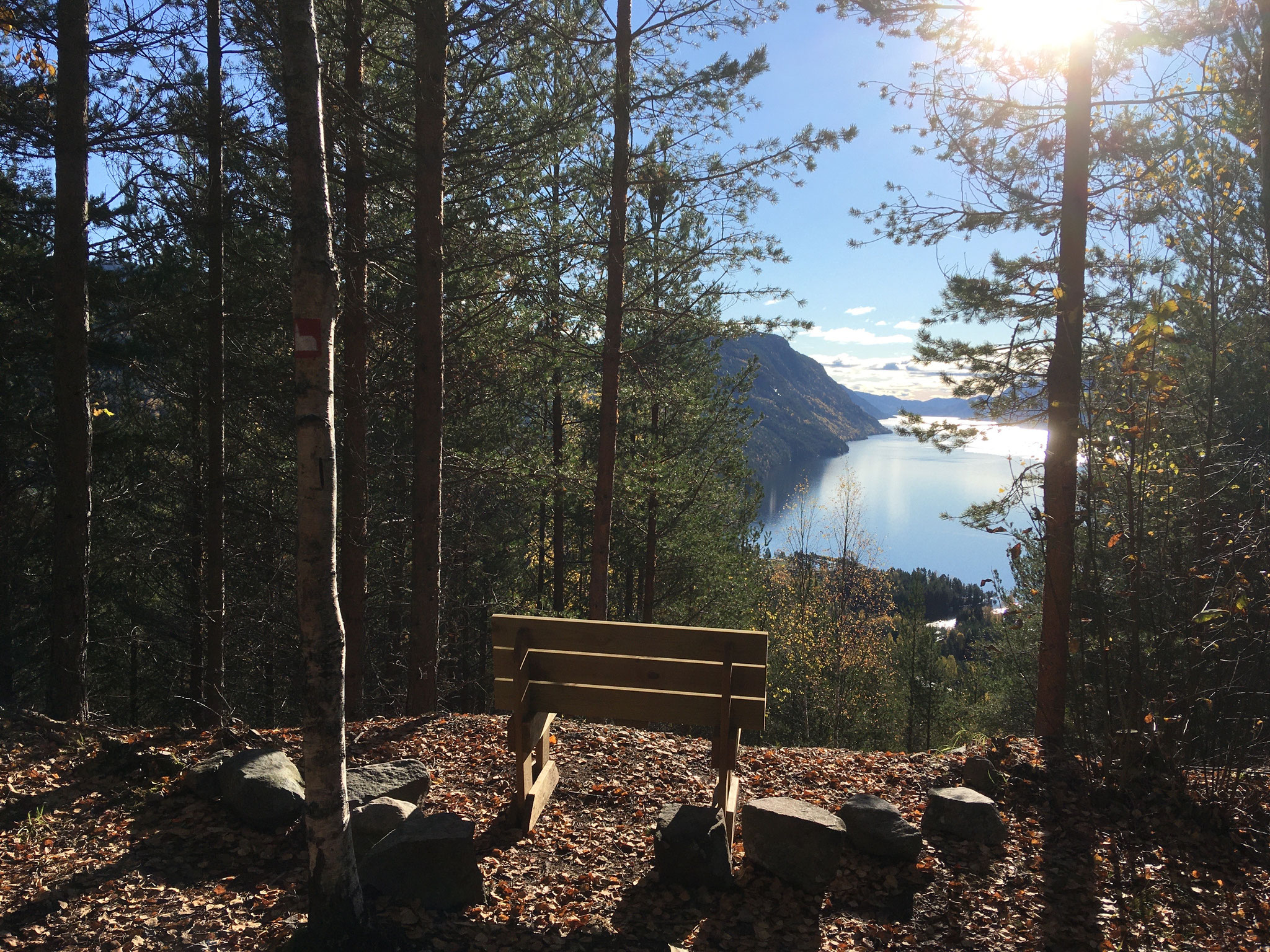
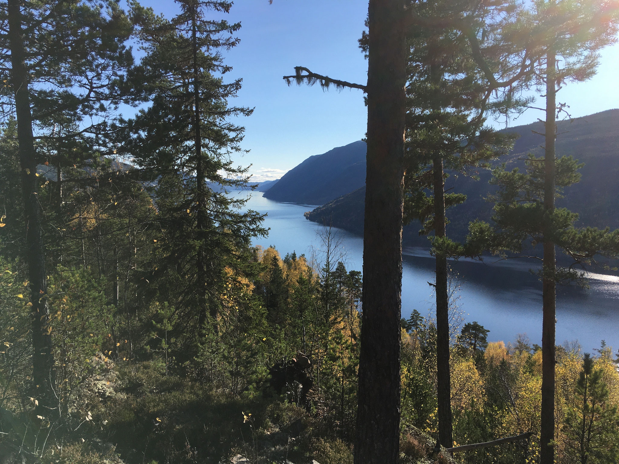
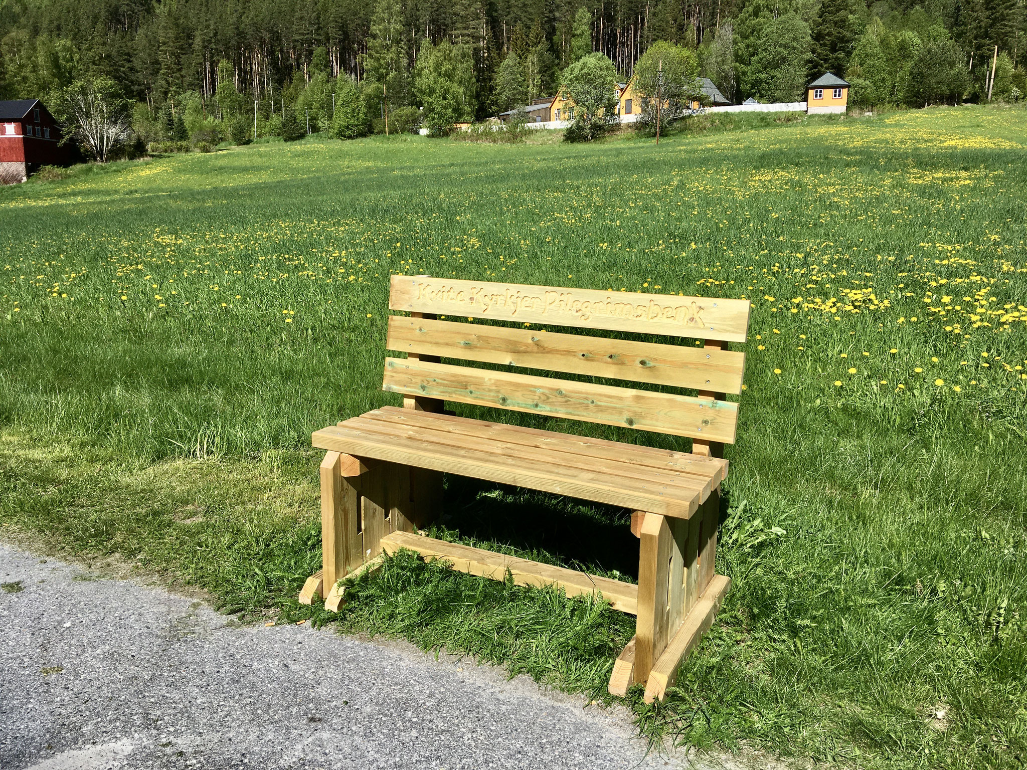
Follow the forest path slightly upwards until you meet a bench in a right turn. Here goes straight out, past the bank, on a narrower path continue steadily uphill. Between the trees you can enjoy the beautiful view of the Tinnsjø again and again. A little later you will pass a simple resting place with beautiful views down to Sandviken campsite and over the Tinnsjø. You are now
After a short rest we go on the forest path, which becomes more and more into a steep and stony path, in two bends up the ridge. On the ridge, directly in a bend, you come across a wide track. You follow this road straight and slightly sloping for about 1 km, past the sign to Sandviken Camping (left) and to the “Åsral” (right), until you encounter a sign that points to the right of the “Gamal Kyrkjesti”. You are now on one of the ancient church paths that people have walked for centuries to get to the church in Atrå. The path crosses 2 times a slightly larger forest path before it hits a wide forest road. There is another sign “Gamal Kyrkjesti” in the opposite direction and one that points you to the left towards Sandviken Camping. Turn left here and follow the track, always uphill along the Tinnsjø. Always keep to the right. At a fork of the road, there is a beautiful resting place, a little elevated from the way, waiting for you. After the break, follow the right path further straight until after a bend you are at the point where you have turned down on the church path. Now you go a little further, up to the sign, Sandviken Camping, to go down the partly very steep forest path, back to the campsite.
About halfway through, you‘ll find a sign to a vantage point that you shouldn’t miss. Follow the path downhill until you hit the upper edge of Campinplatznes climbing rock, be careful here it descends steeply. But the open view of the Tinnsjø is overwhelming.
At the end of your hike you come out of the forest directly at the campsite. If you have your car at the Dølehalle, you will now take the small road above the main road to the left, as described above. At the gas station you just continue straight through the centre of Austbygde to the Dølehalle.